
Sources for Newnan Neighbors
Each public source answers a different question about the block. Coweta parcel data identifies land and assessed owners. The voter roll can identify registered voters at an address under Georgia law, with important limits. Historic-district and redevelopment records describe place, not residents. Neighborhood Watch contact maps stay private and consent-based.
| Source | What It Shows About a Block | Access |
|---|---|---|
| Coweta GIS parcel viewer | Parcel shapes, situs, parcel ID, assessed owner, map context | Free interactive viewer |
| Coweta property roll | Owner and additional owner, mailing address, legal description, property facts | Free owner, address, or parcel search |
| Georgia public voter list | Names and componentized residence addresses of unprotected registered voters | Ordered from Secretary of State; Newnan municipal file $65 |
| My Voter Page | One voter’s status, districts, poll place, and sample ballot | Personal identity lookup, not block browsing |
| Historic districts | Official boundaries and shared historic setting | City maps and district material |
| Neighborhood Watch | Private member contact map for a participating block | Consent-based; not a public roster |
No row proves every person at a home. A tax mailing address can differ from the situs, and a registered voter list omits many people.
Map Newnan Neighbors Parcel by Parcel
The Coweta County interactive GIS experience provides the clearest visual route from one Newnan address to the lots around it. Its search returns suggestions, can select a result, and links an extent-filtered table to what is on the map. No dedicated public buffer or measure tool was verified, so use visible adjacent parcels rather than claiming a radius search.
- Search the target address and let the viewer select and zoom to its parcel.
- Record the parcel ID, situs, owner, legal description, and map position.
- Select each parcel that touches or faces the target lot. Read one record at a time.
- Filter the table to the visible block and use show-on-map or zoom-to-feature to check each row.
- Confirm names through the property search, then note which facts show ownership and which remain unknown.
For every property on a long named road, switch to the Newnan street directory. A neighbor lookup should stay focused on the immediate block.
Block flow. Address → parcel polygon → adjacent lots → assessed owners → original record check.
What Newnan Parcel Records Reveal
The county assessor accepts Owner Name, Address, or Parcel Number as separate search routes. Official ArcGIS fields include owner and additional owner, street, city, state, ZIP, parcel ID, legal description, acreage, tax district, municipality, neighborhood, subdivision, block, lot, phase, section, parent PIN, year built, and several building measurements. The service also supports technical distance queries, but that does not mean the public viewer has a simple buffer button.
| Strong evidence | Parcel boundary, parcel ID, assessed owner, legal description, and situs |
|---|---|
| Useful clue | Mailing address matching the situs and a homestead indicator support owner occupancy |
| Not proved | Every adult, child, guest, or other person who lives at the address |
| Map context | Municipality, tax district, neighborhood, subdivision, block, and lot fields |
A different mailing and situs address may suggest that an owner lives elsewhere. It does not identify an occupant. Keep that distinction visible in any notes about your Newnan neighbors.
Seven Newnan Neighborhood Geographies
Newnan recognizes seven historic-district geographies: Chalk Level, Cole Town, College-Temple, Downtown, Greenville-LaGrange, Newnan Cotton Mill and Mill Village, and Platinum Point. Those boundaries describe historic setting and review context. They do not serve as lists of neighbors, owners, or members.
The Newnan historic districts resource shows why the city map matters to block research.
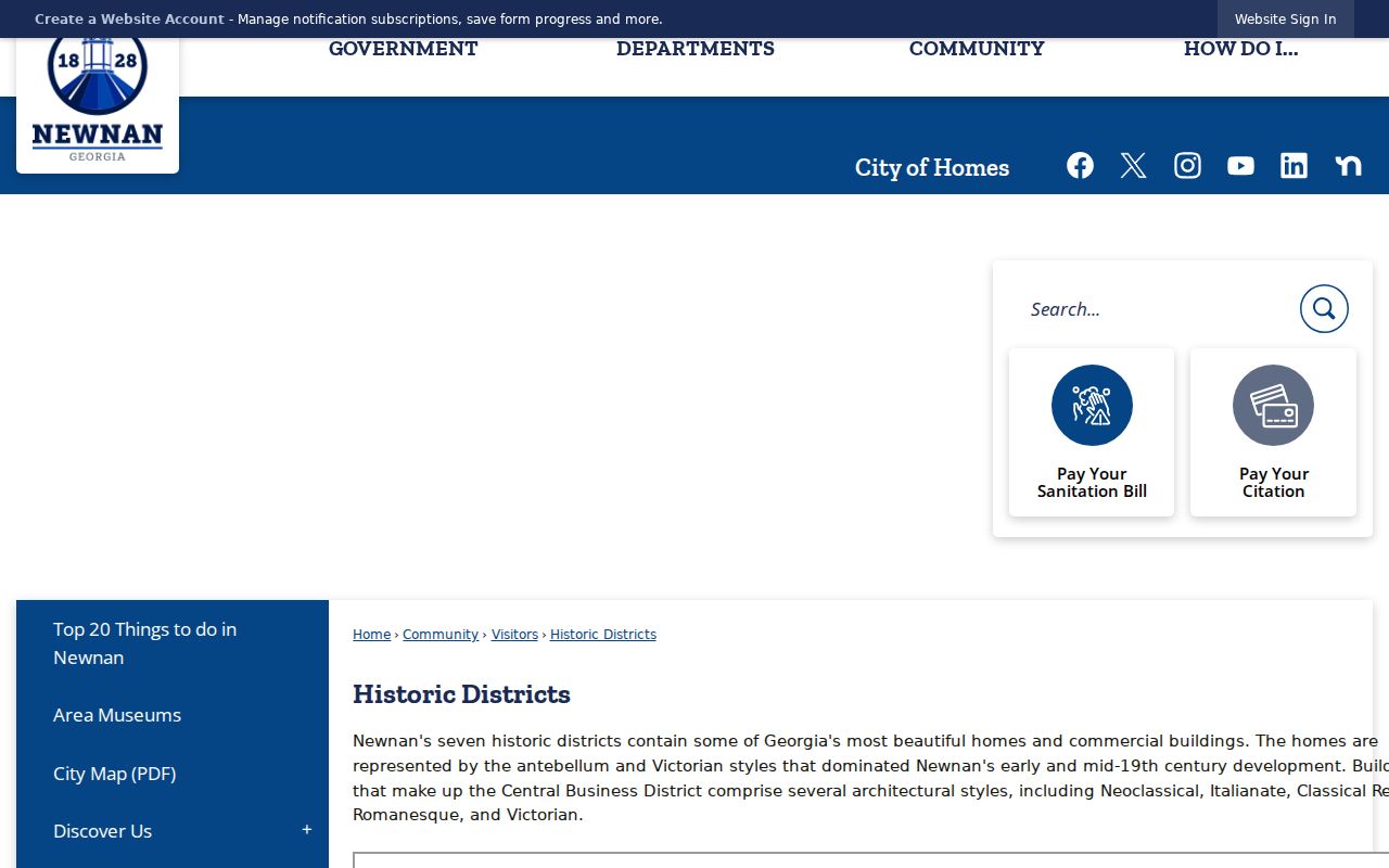
Use the district name to find plans, preservation material, and a shared local history. Then return to parcel evidence for claims about a lot. Chalk Level entered the National Register on January 29, 2026, a timely status that adds context without making its records a household roll.
Newnan Community Contacts and Boundaries
No authoritative citywide roster of homeowner groups or active watch groups was found. That gap matters. The official sources instead document neighborhood programs and public bodies with narrower roles. Their maps and records can explain a place, but they should not be presented as open member directories.
Neighborhood Watch
Newnan Police supports participating blocks. At least 50 percent of households must take part for signage. A member contact block map is distributed privately, and the group meets with police each year.
Newnan Urban Redevelopment Agency
NURA publishes redevelopment plans, minutes, and Chalk Level geography. It does not publish a member or resident roster.
City GIS
Newnan GIS can supply address points, historic districts, precincts, council districts, streets, and other mapped layers through its data request.
Ask a group directly about its opt-in contact practice. Never turn a private block map into a public list.
Georgia Voter Data and Newnan Neighbors
Georgia’s public voter file includes a registered voter’s name, status, birth year, residence and mailing address components, precincts, many district fields, and registration or participation dates. It does not expose a full date of birth, Social Security number, driver’s license number, or ballot choice. Georgia does not register voters by party.
A Newnan municipal file costs $65 and is delivered electronically after an order to the Secretary of State. The stated processing time is two weeks, with no custom or expedited order. Coweta Elections and Voter Registration is at 87 Newnan Station Drive, Suite 400, and can address local registration questions.
My Voter Page uses first initial, last name, Coweta County, and date of birth for one person’s lookup. It cannot browse Newnan neighbors by street. VoteSafe protects qualifying residence addresses for four years, and commercial use of voter-list data is a misdemeanor under O.C.G.A. §21-2-601.
Note: A voter file is a regulated roll of registered voters, not a complete census of each Newnan home.
Official Rolls Versus Commercial Tools
Commercial neighbor tools may merge old public records with marketing data. The result can be fast, but the source date and match logic may be unclear. Official records are narrower. They identify the office, public purpose, fields, and limits behind the record.
| Question | Official Record | Commercial Compilation |
|---|---|---|
| Where did the fact come from? | Named assessor, clerk, election office, or city source | May combine several feeds without a clear source trail |
| What does it prove? | Only the purpose and fields of that roll | May imply a household link that the source did not prove |
| How is it checked? | Open the parcel card, filing, or official list | Trace each claim back to an original record |
| How current is it? | Roll or filing date can often be identified | Update date may be hard to determine |
For your Newnan neighbors, verify an owner in the assessor roll and a transfer in the deed index. Do not treat any compilation as a household roster.
Privacy Limits for Newnan Neighbors
Property and voter records leave many facts private. Parcel data does not identify all occupants. Utility, delivery, school, and private membership data are not public neighbor rolls. Georgia VoteSafe can shield qualifying voter residence addresses, and protected people can request assessor non-disclosure under O.C.G.A. §§50-18-72 and 50-18-78.
Public records can still be wrong or stale. Write down the source and date, limit the search to a valid personal purpose, and contact the custodian when a result will affect a real decision. Respect a group’s private roster even when someone offers access.
Lawful use. Look up Newnan neighbors for civic curiosity, getting to know the block, reconnecting, or personal safety. Never watch, intimidate, harass, or harm anyone.
A Name Is Not a Household
Georgia’s Unclaimed Property program is one more name-based public route, but it does not prove where a person now lives. It can offer a clue for a rightful owner or heir who has funds held by the state.
The Georgia Unclaimed Property program provides the state search entry.
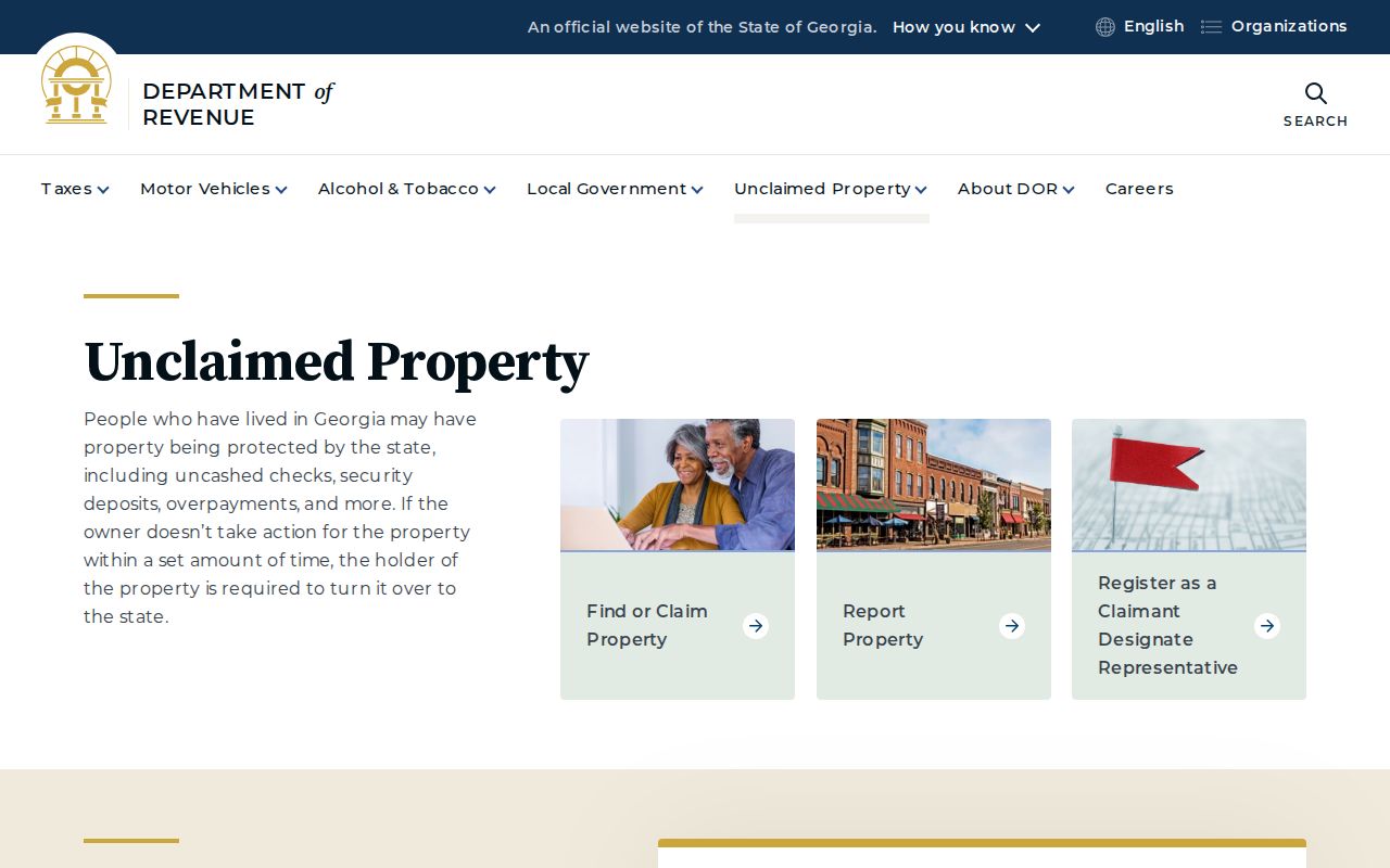
Keep that result apart from the parcel map. A name match may aid family or estate research, but only address-linked official evidence belongs in a block conclusion.