
Newnan ZIP Coverage at a Glance
Four ZIP codes matter to a Newnan address search, but they do not play the same role. The city's official address-point layer counts physical locations within municipal limits, while USPS assigns delivery routes beyond those limits. The counts below are city address points, not people, households, or total postal addresses. They are useful for comparing the local footprint of each code.
| ZIP Code | Areas Covered | Post Office | Notes |
|---|---|---|---|
| 30263 | Central, western, downtown, and much of southern Newnan | Newnan Post Office | 12,359 city address points; delivery area extends beyond city |
| 30265 | Northern and eastern growth areas | Newnan routing | 6,732 city address points; also extends beyond city |
| 30277 | Small eastern and southeastern municipal edge | Sharpsburg ZIP | 352 Newnan city points; clear mailing-city mismatch |
| 30264 | PO boxes and government mailing addresses | Newnan PO-box service | Zero physical city address points |
The central 30263 zone includes downtown and the historic courthouse grid. Growth to the north and east appears chiefly under 30265. The 30277 code shows why postal city names cannot settle jurisdiction: some Newnan city points receive Sharpsburg mail. Meanwhile, 30264 appears often in government contact addresses yet has no physical points in the city layer. A ZIP code directory should preserve those differences instead of presenting four equivalent areas.
Read Newnan ZIP 30263
ZIP 30263 contains Newnan's central and western areas, much of the south side, and the historic core. Downtown follows the city's 1828 nine-square-block plan around the public square. Early streets, government offices, and long-running institutions cluster here, so a current address may lead into older deed, directory, cemetery, or preservation records.
Local history can help distinguish an old address from a current one. Greenville-LaGrange follows older highways, while Mill Village and Cole Town reflect manufacturing and worker-community development. Factory Street is now Field Street, a verified name-change trap. When a deed or directory uses the older name, match the parcel, legal description, and map context before concluding that the address moved.
The 30263 delivery area extends beyond Newnan's legal boundary. City permits and code records apply only after the parcel is confirmed inside municipal limits. County property and deed records remain the better first stop for any Coweta parcel.
Search Newnan ZIP 30265
ZIP 30265 covers much of Newnan's north and east growth area. Annexation has made the city edge irregular, and official reporting shows the municipal area growing from about 12.37 square miles in 1990 to 19.5 by 2015. Postal routing did not become a city-limit test as Newnan expanded.
For a 30265 address, open the parcel or official address-point record and read its city code, zoning, subdivision, full address, and ZIP fields. A Newnan mailing name may sit outside city limits. Planning, licensing, and permit questions then belong to Coweta County rather than the city. The ZIP code directory narrows the area; the jurisdiction layer identifies the custodian.
Boundary check. A 30263 or 30265 postal result may be outside Newnan, so confirm the parcel and city-limit layer before requesting city records.
Why Newnan Uses 30264
ZIP 30264 is a mailing and PO-box code. It has zero physical city address points in Newnan's published layer, even though it appears in government and institutional contacts. That does not make the code invalid. It means the ZIP identifies box delivery, not a street location where a parcel or building should appear.
Do not use 30264 as a substitute street filter in the assessor or GIS. Search the person's or agency's physical address when checking a parcel, district, permit, or adjacent property. Keep the box address only for correspondence. This difference is one of the most useful facts in the Newnan ZIP code directory.
Find Newnan Records by ZIP
Not every official portal accepts a ZIP-wide query. Coweta QPublic's public modes do not advertise a ZIP input, so start with an address or owner and read the ZIP from the parcel result. Newnan's address-point service can group official points by ZIP because ZIP is a published field. The paid Georgia voter-file channel supplies componentized residence and mailing addresses that can be sorted lawfully, but My Voter Page is only an authenticated individual lookup.
- Enter the complete address in the USPS lookup. Keep the standardized delivery city, state, ZIP, and ZIP+4 if returned.
- Search Coweta QPublic by street address. Record the parcel ID, situs address, owner mailing address, and jurisdiction clues.
- Compare the parcel with the Newnan address-point and city-limit layers. Read the ZIP attribute rather than assuming it from the postal city.
- For lawful roll analysis, use the Georgia voter-list order route and its address fields. Never treat My Voter Page as a browse-by-ZIP tool.
Once the postal area is narrowed, continue with the Newnan street directory for address-level ownership and deed work. ZIP grouping does not show who occupies each home, and assessor mailing addresses may point elsewhere.
Verify a Newnan Delivery ZIP
The USPS ZIP Code Lookup is the authority for a deliverable postal address. It supports lookup by full address and by city and state. Use it before searching county records when an address was copied from an old letter, directory, obituary, or filing.
| USPS search mode | Enter | Best use |
|---|---|---|
| By address | Street, city, state | Confirm a specific delivery ZIP and standardized form |
| By city and state | Newnan, Georgia | Review ZIP codes associated with the mailing city |
| By ZIP | Five-digit code | Confirm the postal city names tied to that code |
The captured USPS lookup screen shows the official starting point for delivery verification.
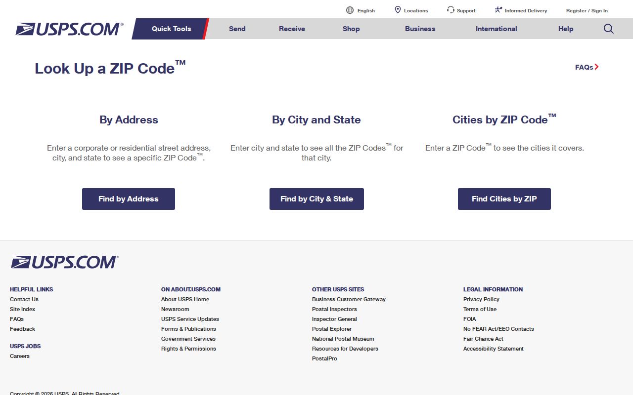
Carry the standardized result into Coweta property and Newnan GIS searches, but do not infer city limits from it.
Map Newnan ZIP Boundaries
Newnan's official ZIP map combines city address points and limits with Census ZCTA and national ZIP layers. Its search provides six suggestions or results and an extent-filtered table. The official address-point layer also publishes parcel ID, house number, road parts, full address, city, state, ZIP, building or unit, dates, occupancy type, coordinates, zoning, and subdivision.
Newnan GIS information and data requests provide a second route when the live viewer is not enough.
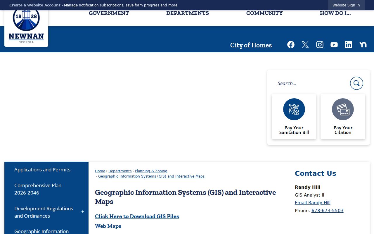
GIS can show whether a point falls within Newnan and which ZIP attribute it carries. Occupancy codes classify places, such as residential or business sites, not named people.
Keep Newnan ZCTAs Separate
Census ZIP Code Tabulation Areas, or ZCTAs, are statistical shapes built to summarize data. They are not the same as USPS delivery routes and should not be used to certify a mailing address. The Census summary-file guidance explains the geographic data source.
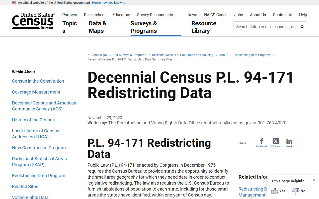
Use ZCTA data for broad statistics, USPS for delivery, and Newnan or Coweta GIS for jurisdiction and parcels. An address-point count is not a population total.
Separate Newnan Address Keys
The same property can carry several location keys without conflict. A situs address is the physical place taxed or permitted. The assessor's mailing address is where owner correspondence goes and may be elsewhere. A parcel number and legal description provide a durable deed key through street-name or number changes. A ZIP is delivery geography, not proof of city, tax, precinct, school, or parcel status.
- ZIP vs ZIP+4
- A five-digit ZIP identifies a delivery area; the added four digits narrow a delivery segment.
- PO-box ZIP
- A code used for box delivery rather than physical street points, as 30264 is in Newnan.
- ZCTA
- A Census statistical approximation of ZIP geography, not a postal certification.
- Carrier route
- A USPS delivery path that may cross boundaries used by cities, precincts, or tax offices.
Newnan Planning and Zoning handles annexations, subdivisions, and address verification inside the city. For an unresolved location, contact the office at 25 LaGrange Street or 770-254-2354. If the parcel lies outside the line, use the appropriate Coweta County office. The Newnan ZIP code directory is a sorting aid, not a substitute for that jurisdiction check.