
Walk a Newnan Street by Address
A useful Newnan street directory search moves from the current parcel to older, dated evidence. The Coweta property search accepts an address and can return the assessed owner, situs address, mailing address, parcel number, legal description, values, improvements, and a map. Situs means the physical taxed place. Ownership does not identify every occupant, so treat the parcel card as the first anchor, not a household list.
- Search the street name in qPublic without adding too many limits. Save each matching parcel number and keep situs and mailing addresses in separate notes.
- Open the Coweta GIS map and select parcels in order along the block. Confirm boundaries, subdivision details, and the legal description.
- Carry the owner name and legal key into Coweta RE Search. Follow the acquisition deed and its book and page references.
- Use a lawfully obtained voter file only as dated registered-voter evidence. My Voter Page is for an individual's own record, not browsing a street.
- For an older household, consult held Newnan directories and census records. Missing years must stay marked as gaps.
This chain distinguishes an owner from a registered voter and a listed historical occupant. Those roles can overlap, but they are not interchangeable. A different tax mailing address may suggest that the owner receives mail elsewhere. It does not name the person who lives at the property.
Search Newnan Parcels Three Ways
The Board of Assessors provides three optional routes into the Coweta parcel roll. Address is best for repeated hits along one road. Owner name helps when the street spelling changed, and parcel number is the stable key for returning to the same tract.
| Search choice | Input | Best street use |
|---|---|---|
| Owner Name | Text, optional | Test name order and spelling variants |
| Address | Text, optional | Scan repeated street-name results |
| Parcel Number | Text, optional | Return to a precise legal parcel |
The Coweta Board of Assessors is at 37 Perry Street and can be reached at 770-254-2680 when a parcel card needs explanation or correction. Assessment figures come from the last certified roll and are not a tax bill.
Read the result fields with care. The current owner and additional owner fields identify assessed parties. The mailing address is where assessment mail goes, while the situs is the site being mapped. Acreage, subdivision, block, lot, municipality, tax district, and year built can separate similar addresses. Improvement values and building details add property context, but none of those fields proves who was inside the home on a given day.
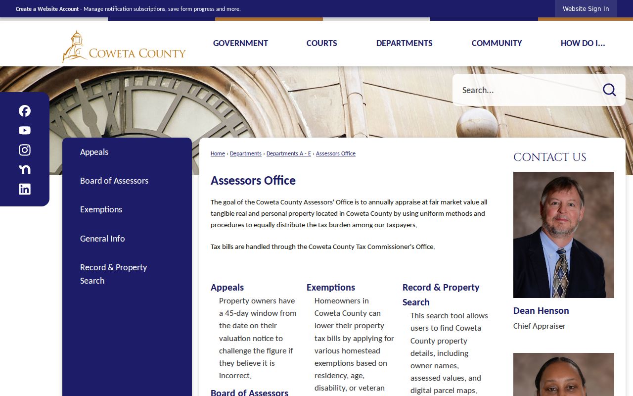
The assessor page used for this work is shown below. It connects the public to property-search access and the office that maintains the roll.
Newnan Street Records Compared
No single address record supplies a complete Newnan household. A street-by-street search is stronger when each record is used for the role it was made to document.
| Record Set | Keeper | What It Shows | Access |
|---|---|---|---|
| Property roll | Coweta Board of Assessors | Owner, situs, mailing address, parcel, improvements | Free qPublic search |
| GIS parcel map | Coweta GIS | Parcel polygons, subdivision, tax district, building fields | Free interactive map |
| Deeds, liens, plats | Superior Court Clerk | Parties, transfer date, book/page, legal description | Free county search and terminal; statewide tiers |
| Voter file | Georgia SOS and Coweta Elections | Lawful registered-voter address presence | Paid list; protected records omitted |
| Permits and code cases | City of Newnan | Address-keyed work or case records | Written request; no historic public index found |
The parcel number and legal description bind the appraisal record to the deed chain. The exact address narrows a city records request. Names, dates, and book/page references then help bridge a change in house number or road name.
Map the Newnan Street Grid
The Coweta GIS parcel map lets a reader select adjoining polygons and inspect the block in sequence. The city parcel viewer adds search suggestions, zoom controls, and a table filtered to the visible extent. Select each parcel rather than assuming one street number equals one tract. The underlying county layer publishes owner, additional owner, acreage, legal description, municipality, neighborhood, subdivision, block, lot, year built, values, and building details.
Newnan's 1828 core follows a nine-square-block plan around the public square. Later annexations created irregular city edges. The map therefore answers two questions at once: where a parcel sits on the road and whether it falls inside Newnan's municipal boundary. A postal Newnan address alone cannot settle that second point.
City GIS also accepts data requests for street centerlines, address points, voter precincts, council districts, historic districts, zoning parcels, aerials, sidewalks, and other layers. A required format choice includes shapefile, PDF, or printed map. Large-format map copies cost $15. GIS warns that its information may not be current and is not a legal survey, so a recorded plat remains the better boundary source when exact lines matter.
- Parcel
- A mapped tract with its own identifier and assessment record.
- Situs address
- The physical location of the taxed or permitted property.
- Plat
- A recorded drawing that defines lots, blocks, and boundaries.
- Criss-cross directory
- A directory section arranged by street and number rather than surname.
Carry Newnan Parcels into Deeds
The free Coweta RE Search supplies deed, lien, and plat data and images. Search spelling variants, then record each party's role, recording date, instrument type, and book/page. The statewide GSCCCA Real Estate Index adds name, book/page, property, instrument, and PT-61 modes. Its consolidated deed baseline reaches at least 1999, but Coweta's exact earlier online cutoff is not published.
Remote statewide access has account tiers, while the clerk terminal at 72 Greenville Street is free on weekdays from 8 to 5. Coweta's own remote data and images are also free. For records before online coverage, continue in the grantor and grantee books at the clerk. A grantor transfers property; a grantee receives it.
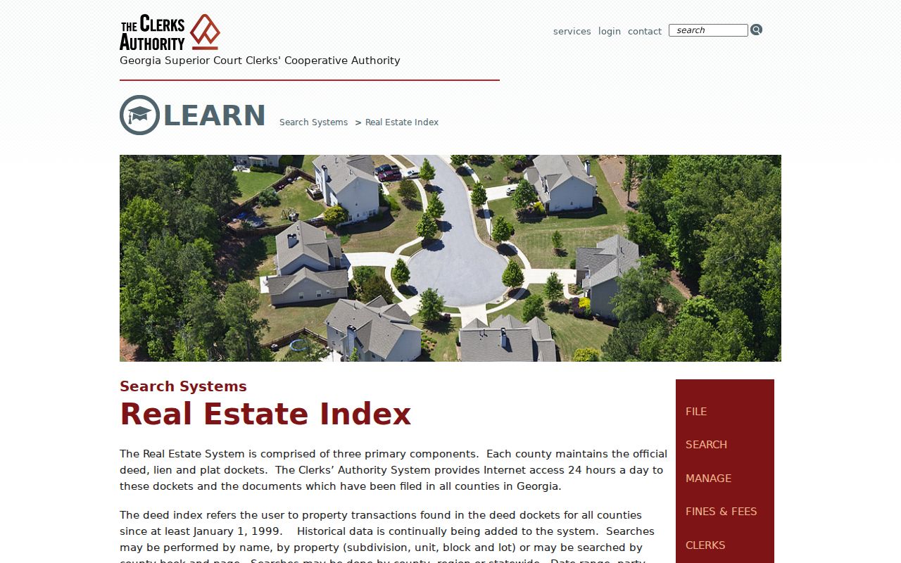
The statewide search modes are illustrated below through the official GSCCCA source. Its fields help carry a legal description beyond an address change.
Request Newnan Files by Address
No official public historical permit or code-case index was located. Send a focused written request through the Newnan open-records route. State the exact address, record type, and date range. Building records can document permits and inspections. Code Enforcement handles premises, signs, unsecured buildings, overgrowth, and related cases. Separate custodians handle police and Municipal Court material.
The city clerk receives general municipal requests at 25 LaGrange Street. The Building Department is at the same address and lists 770-253-8433. Georgia's Open Records Act calls for production or a written response within three business days, though the agency need not create a new street-wide compilation. A narrow request lowers search time and cost.
Factory Street Became Field Street
Factory Street is now Field Street. That verified Newnan name change can break a literal street directory search. When an older directory, map, or deed uses Factory Street, keep the occupant or owner name, legal description, subdivision, and book/page reference in view. Those identifiers can bridge the older label to today's parcel.
Six Newnan Sanborn editions, dated 1885, 1889, 1895, 1900, 1906, and 1911, can help test street and structure continuity. They show numbers, footprints, uses, materials, and outbuildings, not residents. Pair them with a directory, deed, tax digest, or census before assigning a person to the site.
Newnan Voter Evidence by Street
My Voter Page is an authenticated view of one person's registration, precinct, districts, polling place, and ballot information. It is not an open street browser and is not the official county record. A lawfully ordered Georgia voter list can contain componentized residence addresses and can be grouped by street. Coweta Elections maintains and corrects the official roll.
The Newnan municipal list is listed at $65 and electronic delivery can take two weeks. Georgia bars commercial use, and VoteSafe excludes qualifying protected addresses. A voter-file match documents voter registration at a point in time. It does not list every adult or child at that home.
Older Newnan Streets on Shelves
The Coweta County Genealogical Society holds Newnan city directories from 1949 through intermittent years ending in 1998, plus telephone directories from 1996 through 2007. Search an address or criss-cross section only when the volume actually includes one. The full historical shelf and its gaps are detailed in the Newnan city directory collection.
For a street address, pair each directory hit with the nearest census, deed, or tax record. A missing entry does not prove that a household moved. The volume may be absent, the person may be unlisted, or the publisher may have used a different form of the road name.
Limits of Newnan Street Records
A Newnan street directory cannot identify every renter, child, guest, or household member. Property systems index ownership and appraisal. Deeds index transaction parties. Voter records omit people who are not registered and intentionally hide protected addresses. Driver and utility customer data do not supply a public substitute. Even a homestead indicator only strengthens an owner-occupancy inference.
Safe at Home and VoteSafe exist to protect qualifying people. Assessor non-disclosure is also available under Georgia law for specified protected persons. A blank or suppressed field should remain blank, not be reconstructed from unrelated sources.
Lawful use. Use Newnan address records only for lawful personal research, civic review, family history, or property questions. Never use them to stalk, harass, intimidate, or harm a person.